Overview
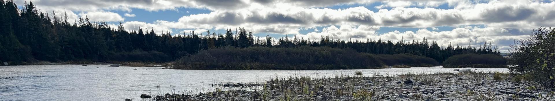
The Conne River North area represents a forest type that is typically found in Central Newfoundland. Surrounded by a landscape of barrens and peatlands, the Twillick Steady natural region is an enclave of heavily forested habitat which is sheltered by the Bay d’Espoir river valley. The proposed reserve contains predominantly Balsam Fir forest, with an expanse of wetlands and bogs along the eastern portion of the proposed area. The connection to this land is strong for Miawpukek First Nation, holding special memories and meaning for their cultural heritage. The land would remain largely unchanged, and local people would continue their traditional, subsistence, and recreational activities for generations to come.
Quick Facts
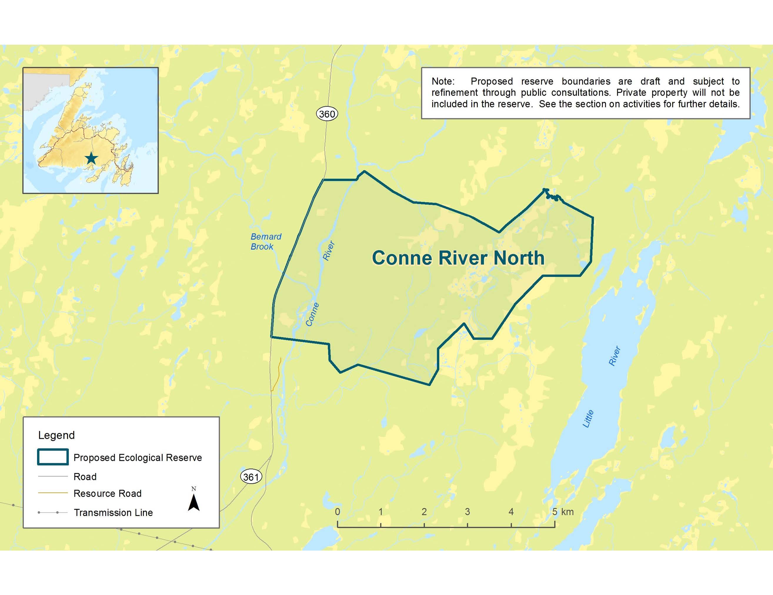
Size: ~22 km2
Location: East of the Bay d’Espoir highway (Route 360), northeast of the town of Conne River
Key Features:
- Representative of Central Newfoundland Forest – Twillick Steady Natural Region. See Newfoundland Ecoregions (arcgis.com) for more details.
- Balsam Fir is the most common forest cover type.
- Rolling hills below 200 metres.
- Domed bogs – a type of raised bog with circular pools that form circular patterns when viewed from above.
- Round-leaved orchids may be found in the mossy undergrowth.
- Unlike Central Newfoundland, there is a lack of trembling aspen and yellow birch.
- Relatively wild, with little development.
How Can You Get Involved?
Your involvement in this process will help shape what a future reserve looks like and how it can be managed. Your input ensures that we honour local interests, needs, and traditions.
- Keep up to date on news and upcoming public involvements related to Conne River North by signing up for our mailing list. Email werac@gov.nl.ca or click the sign-up link below.
- If you have any questions or concerns about Conne River North Proposed Ecological Reserve, reach out to the Wilderness and Ecological Reserves Advisory Council (WERAC) at werac@gov.nl.ca or 709 636-4836.
- Stay informed about planning activities through this page and the Department of Environment and Climate Change website.
Sign Up for the WERAC Mailing List
Interactive Map
Is there an area in the region that you would like to tell us about? Use the interactive map below to highlight an area or activities important to you in the Conne River North area.
Please note you must log in or register to complete the interactive map. Any submissions will be used to guide planning and outreach and help in understanding what is important to people who use the area.
Click Here to Use the Interactive Map
Resources
- Conne River North Information Sheet
- Download protected areas GIS (shape) or Google Earth (kmz) files
- Cabins in Proposed Ecological Reserves
Privacy Statement
The collection of information is done under the authority of section 61(c) of the Access to Information and Protection of Privacy Act, 2015, for the purpose of collecting public feedback on the proposed protected area.
Any personal information that may be received will be governed in accordance with the Access to Information and Protection of Privacy Act, 2015 and will only be used for the purpose of planning, engagement, and reporting back regarding the proposed protected area.
If you have any questions about how this information will be collected, used, and disclosed, please contact the Department of Environment and Climate Change ATIPP Coordinator at atippecc@gov.nl.ca.
Contact Us
If you have any questions or comments, please contact the WERAC Secretariat at 709-636-4836 or werac@gov.nl.ca.